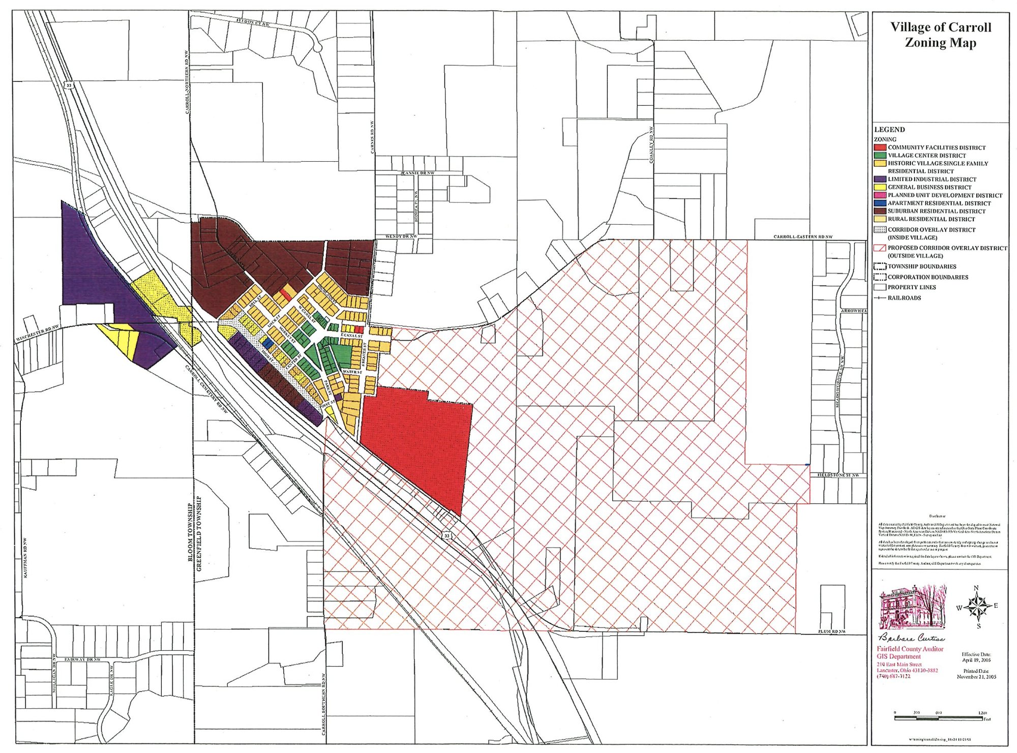
Legend: Zoning
- Community Facilities District
- Village Center District
- Historic Village Single Family Residential District
- Limited Industrial District
- General Business District
- Planned Unit Development District
- Apartment Residential District
- Suburban Residential District
- Rural Residential District
- Corridor Overlay District (Inside Village)
- Proposed Corridor Overlay District (Outside Village)
Also Shown
- Township Boundaries (Bloom Township and Greenfield Township)
- Corporation Boundaries
- Property Lines
- Railroads
Fairfield County Auditor
GIS Department
210 East Main Street
Lancaster, Ohio 43130-3882
(740) 687-7122
Print Only: Zoning Map PDF (opens PDF in a new tab) Zoning Codes & Forms